MS-1
Positioning
Where am I?
Continuous onboard position with periodic absolute correction: the downward camera view is matched against georeferenced terrain. GPS-like output to the flight controller, no autopilot modification.


Trusted in the field
INRIA Startup Studio
Incubation
French Army Regiments
Flight trials
43.6150° N · 7.0717° E
Satellite positioning is the first thing to fail: jammed, spoofed, or simply gone. Every drone that depends on it fails with it.
KALGARD builds vision-based onboard positioning that reads the terrain beneath the aircraft and keeps a trusted position through the whole flight. No GNSS, no datalink.
A sovereign European system: engineered in France, free of foreign compute dependencies, running on open maps the operator owns.
GNSS-independent
One onboard module, three capabilities. It sits on the aircraft, watches the terrain, and answers the questions GNSS no longer can.

MS-1
Positioning
Where am I?
Continuous onboard position with periodic absolute correction: the downward camera view is matched against georeferenced terrain. GPS-like output to the flight controller, no autopilot modification.
MS-2
Targeting
Where is it?
Georeferenced designation of ground objectives directly from the aircraft’s view, without GNSS on the target or the platform.
MS-3
Mapping
What does the terrain look like now?
Georeferenced imagery and terrain products built in flight, independent of satellite positioning.
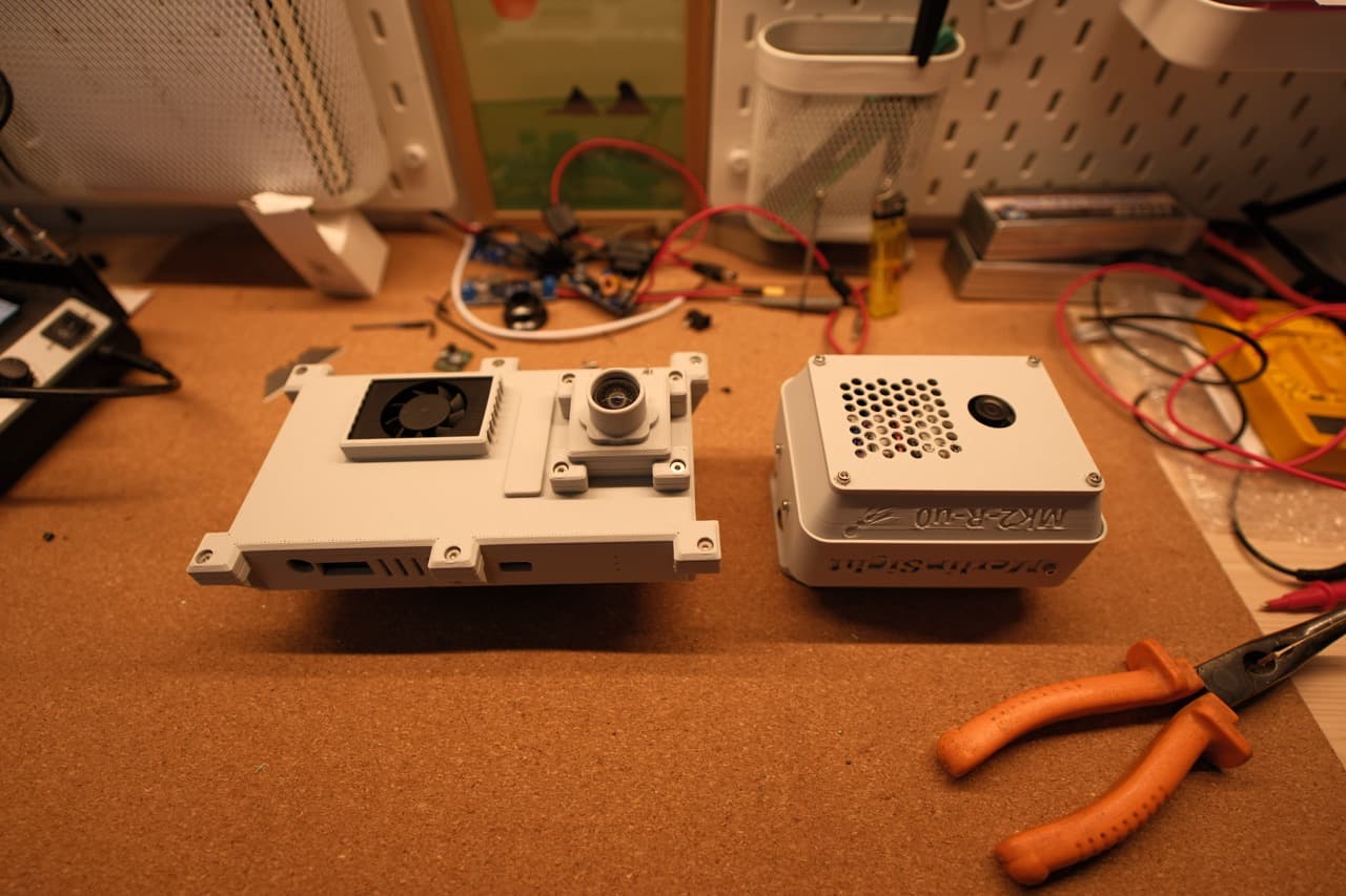
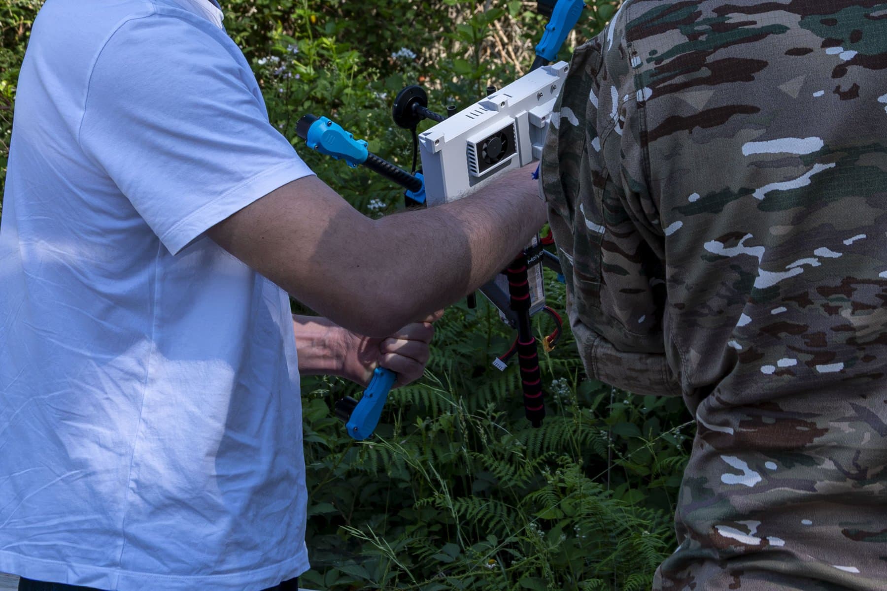

Flight-proven over two terrains: 3.4 m mean position error semi-urban and 5.5 m in the mountains, at up to 70 km/h, measured in real flight with an army regiment observing.
Performance detail and integration data are shared with qualified partners.
Founder · Aeronautical Engineer
Imperial College London
UAV systems and product. Bringing MerlinSight into operational flight.
Robotics Engineer · PhD
ISAE-SUPAERO
Autonomous navigation, onboard perception, resilient localization.